AgniAI: Visual AI for Precision Wildfire Monitoring
2024 · Satellite imagery · object detection
Overview
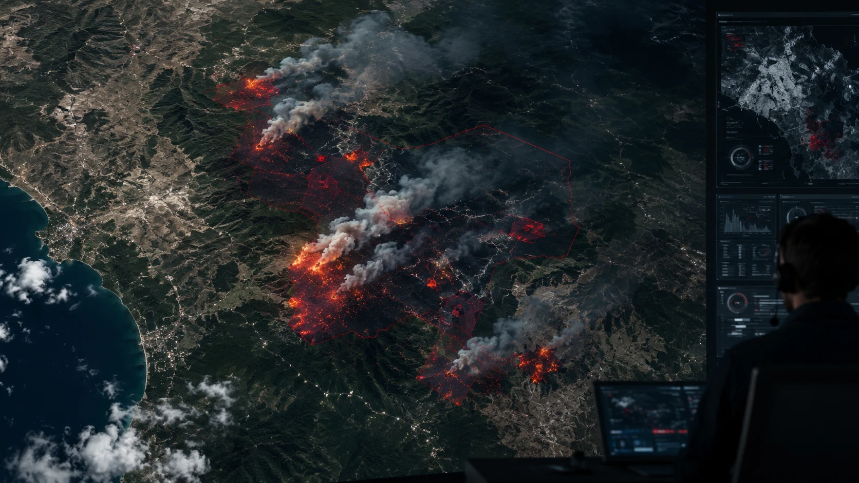
AgniAI uses visual AI to monitor wildfires from satellite imagery. The project fine-tunes YOLOv8 to identify and track wildfire-affected areas from space, aiming to give emergency response teams and environmental monitoring agencies a fast, automated signal. The model was trained on HTW Berlin's Satellite Wildfire Detection dataset (Roboflow Universe), with flips and ±15% brightness augmentation to generalize across landscapes and lighting.
Model & training
- YOLOv8 detector chosen for its speed and accuracy on object-detection tasks.
- Fine-tuned for 10 epochs on the satellite wildfire dataset, with learning-rate and augmentation tuning for high-resolution imagery.
- Early testing shows high precision on wildfire-affected regions; future work targets real-time data feeds and spread prediction from wind and weather.